592 najdenih rezultatov
Skip results of view Novice

On June 30 th, we celebrate the International Day of Parliamentarism , a day dedicated to reviewing the key achievements of parliaments and recognising the progress in becoming more representative and modern. This includes initiatives like involving more women and young Members of Parliament (MPs), adapting to new technologies and carrying out transparent self-assessments. Parliaments continue to serve as the foundation of democracies and ensure that the voices of all people, especially the most vulnerable, are heard and cared for. Their role includes representing the people’s voice, passing

On 28 June 2023, the European Commission announced that an agreement has been reached between the European Parliament and the Council of the EU on the European Data Act , as proposed by the Commission in February 2022. The Data Act aims to boost the EU’s data economy by unlocking industrial data, optimising its accessibility and use, and fostering a competitive and reliable European cloud market. The Data Act complements the Data Governance Act of November 2020 by clarifying who can create value from data under which conditions. It includes: Measures that enable users of connected devices to

The quality of education varies on a global, national, and regional scale. Government administrations and schools publishing information on education enable citizens, policymakers, researchers, and teachers to analyse and compare these data and make informed decisions An example of this is the portal from the World Bank , Education Statistics (EdStats) ,which publishes worldwide education data on topics such as access, policy, learning and expenditures. It also provides tools, like EdStat StatPlanet , a visualization and mapping tool which allows users to create interactive maps and graphs

Data spaces aim to support data sharing across sectors, shaping our society and economy. The sixth course of the restructured data.europa academy called ‘ Moving towards data spaces ’, will dive deeper into data spaces by introducing the concept of these open data platforms, the infrastructures, user needs and developments, the role of data.europa.eu and the future of data portals. Data spaces are ecosystems that operate based on shared policies and rules to overcome legal and technical barriers to data sharing. The first lesson, ‘ Introduction to open data platforms ’, will help you get up to

On Friday 30 June from 10.00 to 11.30 CET, the data.europa academy will host the fourth and final edition of the webinar series ‘Stories of use cases’, focusing on the EU political priorities. Open data has vast potential to achieve strategic priorities and tackle societal, economic and governmental issues. Through its data.europa academy, the Publications Office has organised previous editions, highlighting how open data can contribute to the EU political priorities of the European Green Deal , a new push for European democracy , and promoting a European way of life and an economy that works

The month of June is ‘Pride Month’ dedicated to lesbian, gay, bisexual, transgender, intersex and queer persons (LGBTIQ+). In addition, the European External Action Service has launched the ‘ Pride Heroes ’ campaign to acknowledge the work of those who promote the human rights of LGBTIQ+ persons, give visibility to diversity and contribute to a society of tolerance and respect. The LGBTIQ+ pride promotes self-affirmation, dignity, equality and increased visibility of LGBTIQ+ persons and all others with diverse sexual orientations, gender identities or expressions, and sex characteristics as a
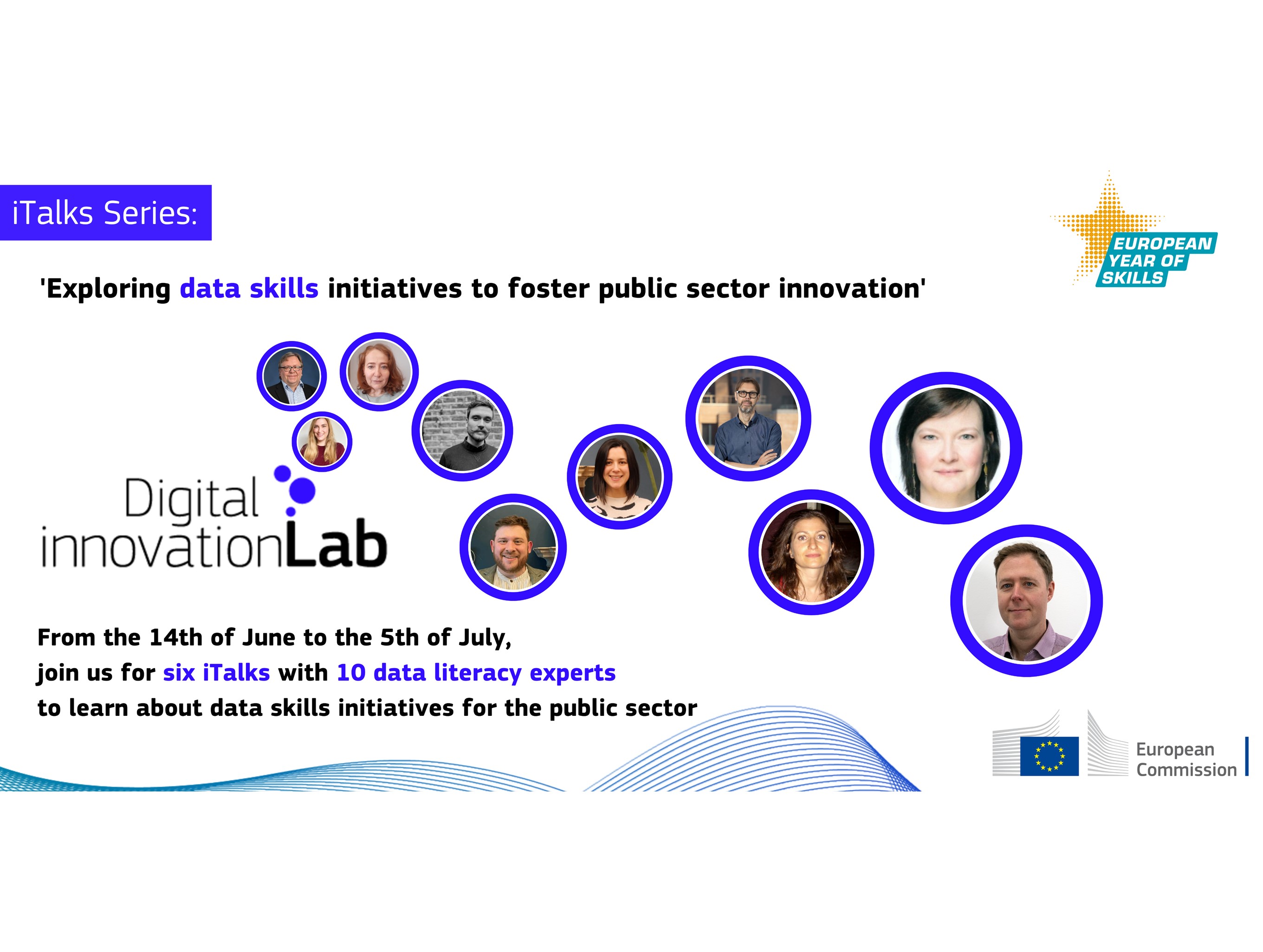
During the months of June and July, the Digital Innovation Lab , also known as iLab, will host a series of six iTalks with ten data literacy experts on data skills initiatives that foster public sector innovation. From national authorities presenting training programs to academics or international organizations, this series will help you understand how different stakeholders aim to address the lack of data skills. The iLab is an open platform within the European Commission and aims to create links and collaborate with external stakeholders such as local and national public administrations

On Friday 26 May 2023, the data.europa academy hosted the webinar ‘Stories of use cases: Open data and a new push for European democracy’. This was the third webinar in the series ‘Stories of use cases’, where open data-driven initiatives share their stories on how open data supports them in aligning to the European Commission’s political priorities 2019-2024 . This session focused on a new push for European democracy . To address its main challenges, the European Union has defined six priorities for the political and policy agenda until 2024. Initiatives in light of the priority ‘ a new push
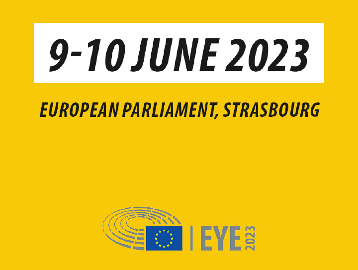
On 9 and 10 June 2023, the fifth edition of the European Youth Event (EYE) took place, bringing thousands of young people together to share ideas on Europe’s future. Participants interacted, inspired each other and exchanged views with experts, activists, influencers and decision-makers. During the EYE , participants had the opportunity to join panel debates, workshops, artistic activities and stands covering a variety of topics such as culture, economy and the environment. Given the upcoming European Elections in 2024, activities related to democracy and participation were highlighted under
Open data brings multiple benefits, but understanding its real impact is an essential action that data.europa.eu continues to explore. In the fifth course of the restructured data.europa academy , ‘ Measuring the impact of open data ’, you will learn more about different methods to measure impact in Europe, the importance of reuse and how our research showcased in the Use Case Observatory and the annual Open Data Maturity assessment contributes to measuring the impact of open data. The course covers five different lessons. It begins with an e-learning on the importance of open data and how it