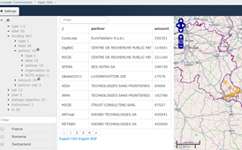
The SemMap Faceted Data Explorer application enables the faceted browsing of RDF datasets and the interactive creation of data tables. Geographical entities, such as cities or countries, can be shown on a map and filtered accordingly. This also works for indirectly geo-related data, such as people and organisations, whose corresponding addresses have been geocoded.
Publication Date
Nature
Website
Charge
FREE
Data Source
Eurostat
Subject
geographical information system
cartography
Functionality
Maps
Statistics
Link to application
Language
English (en)