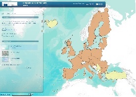
The European Atlas of the Sea is a user-friendly way for students, professionals and anyone interested to learn more about Europe's seas and coasts, their environment, related human activities and European policies that concern the sea. It is intuitive and easy to use. Information is structured by theme. You can move around in the map by clicking, zooming and panning
Publication Date
Nature
Website
Charge
FREE
Data Source
DG MARE , EUROSTAT, JRC
Subject
EU waters
littoral
Functionality
Maps
Link to application
